Mount Athos Pilgrim Map: Discover the Mysteries of the Holy Mountain
Secure payments
Shipping worldwide
Packaged with care
Recyclable packaging
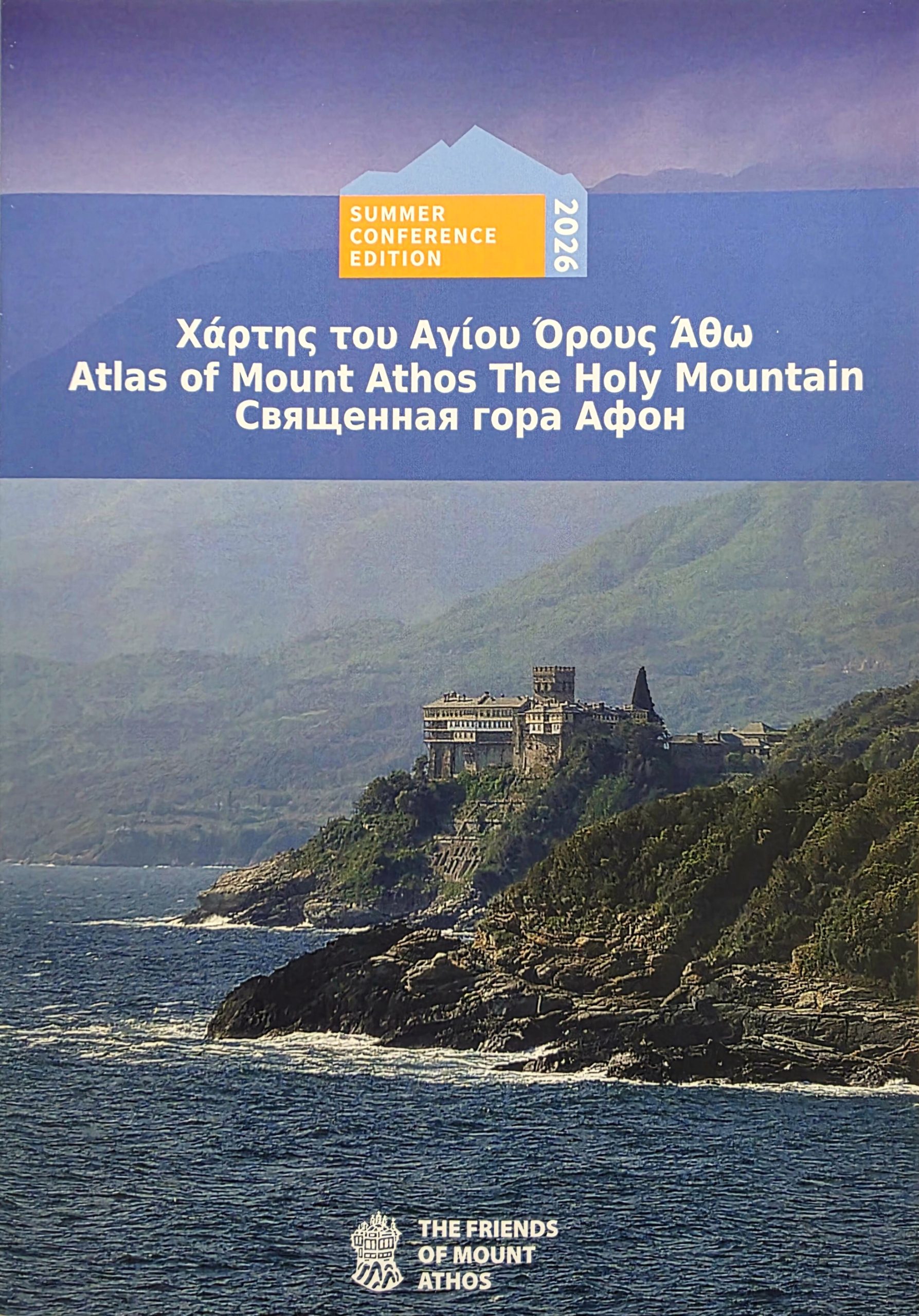
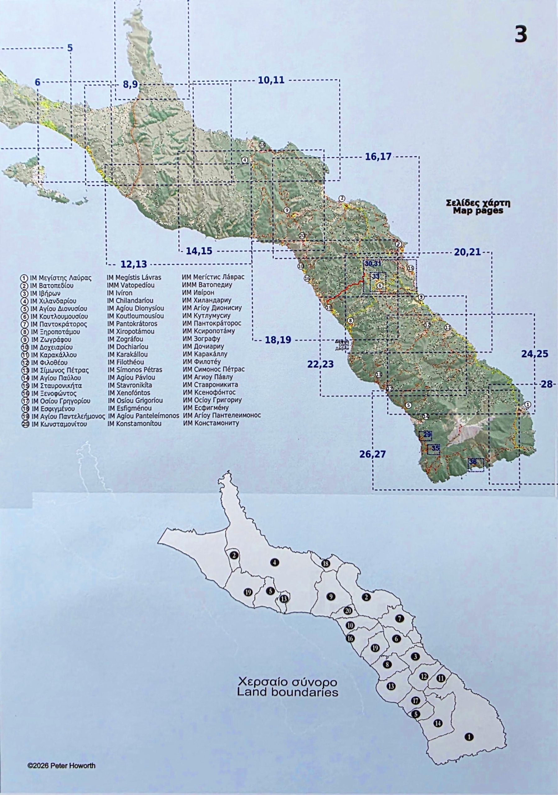
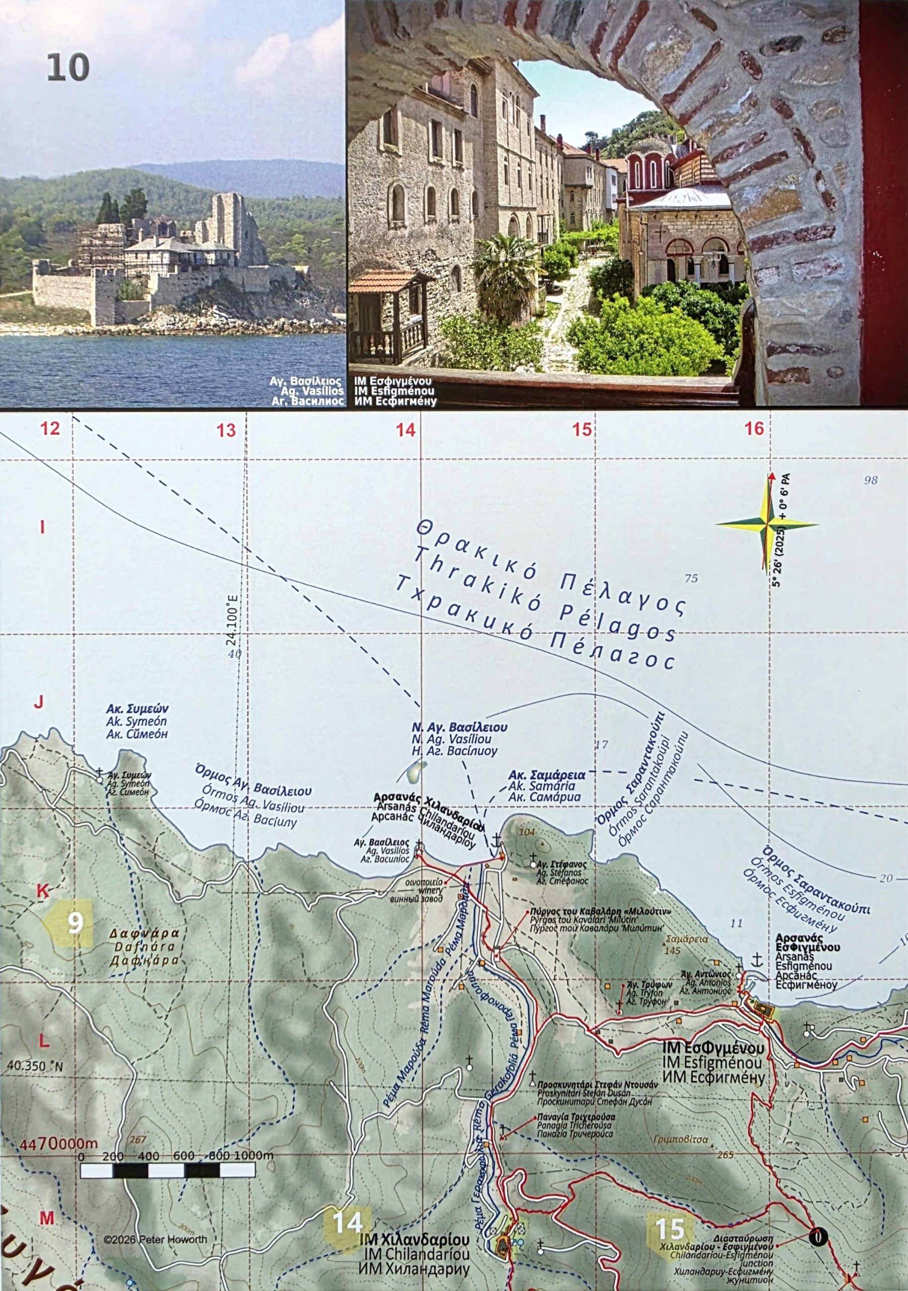
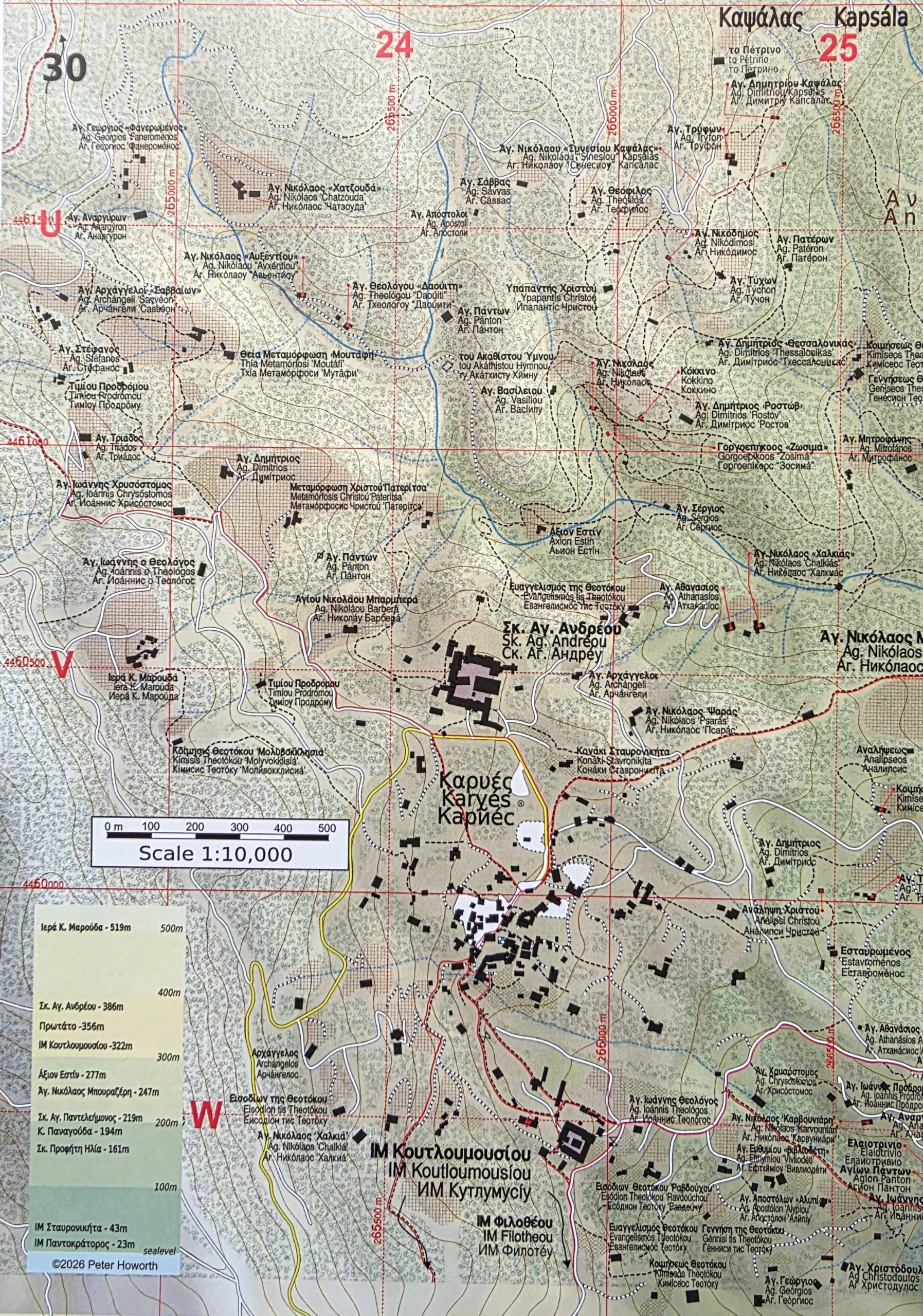
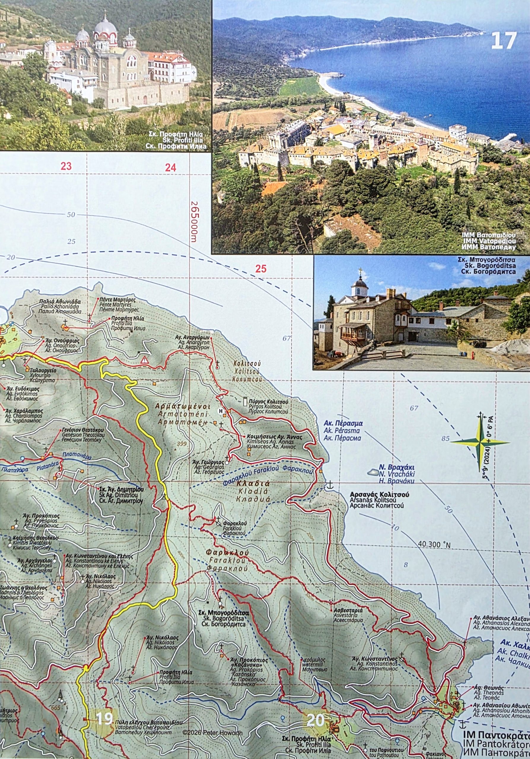
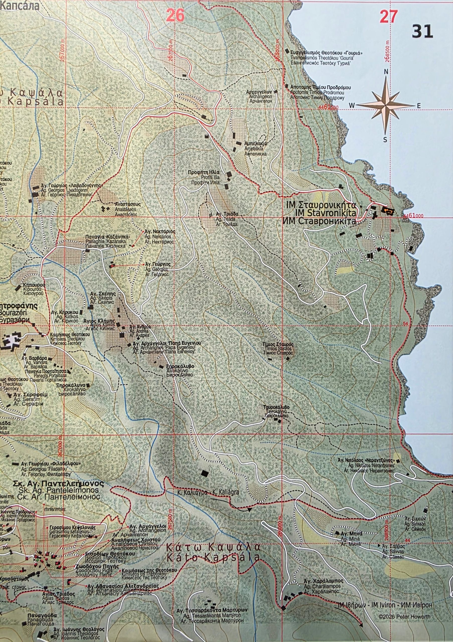
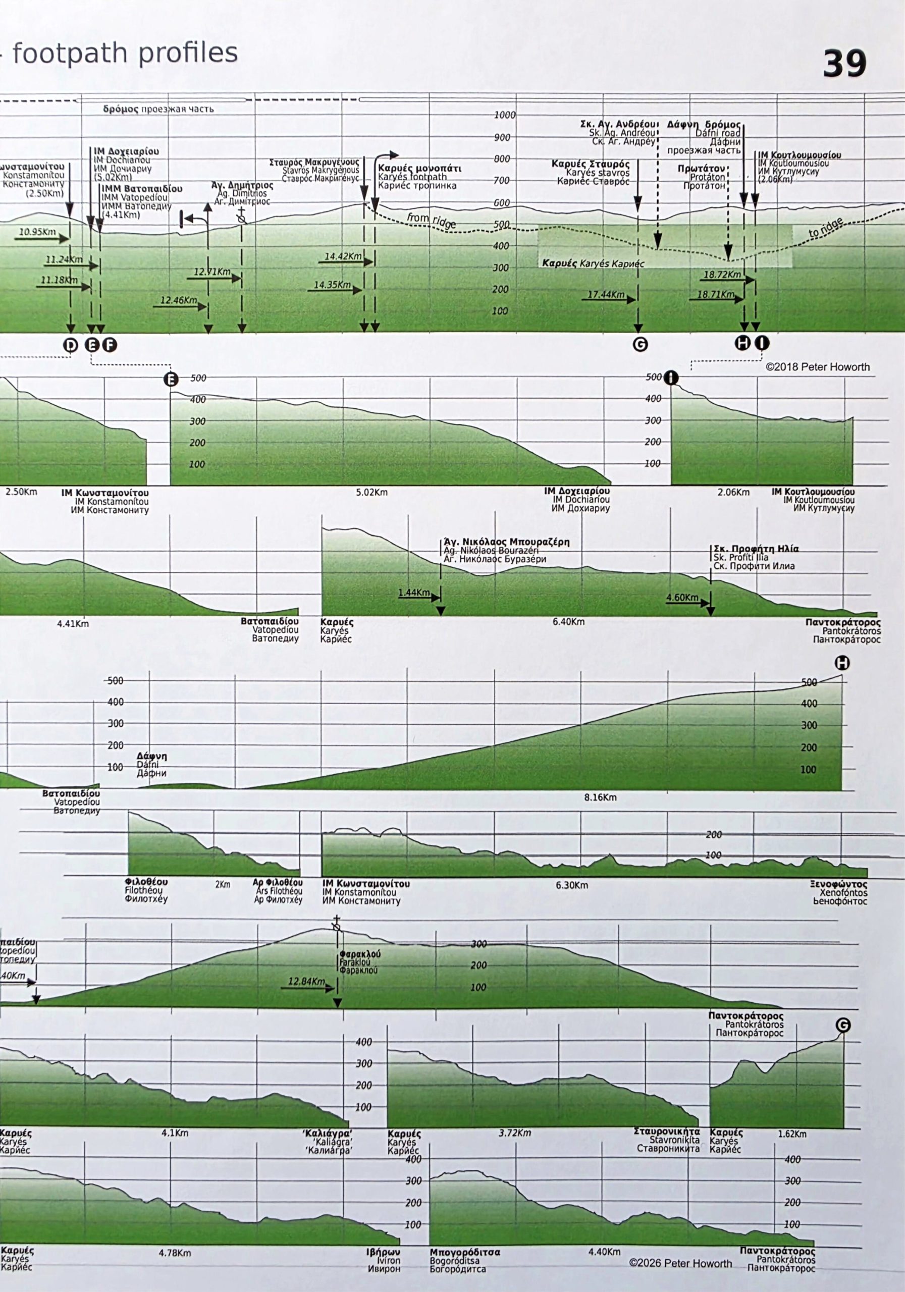
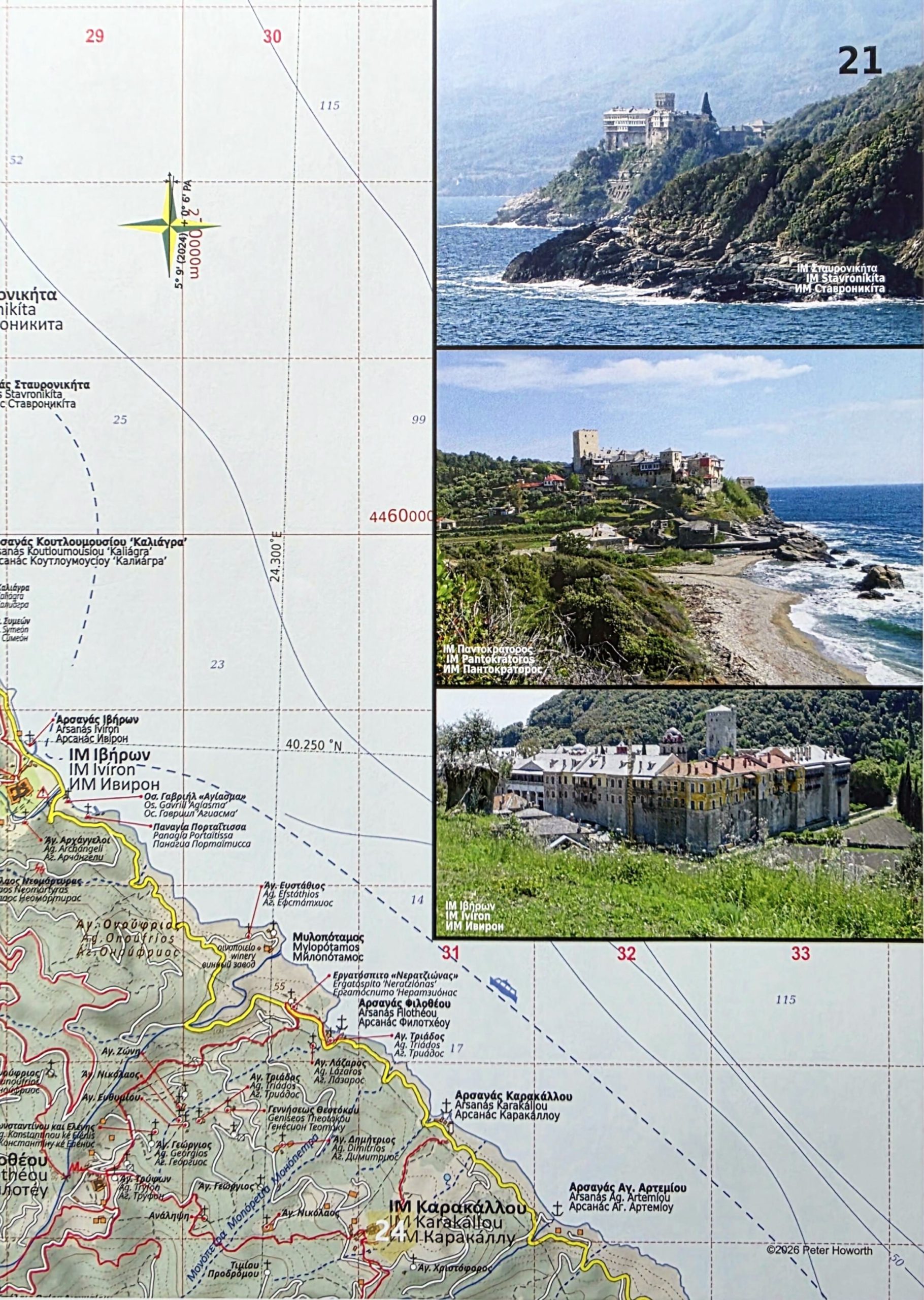
New FoMA publication: Explore the sacred paths of Mount Athos with this unique pilgrim map, detailing all the ancient footpaths, monasteries, and sketes on the Holy Mountain. Developed to encourage pilgrims to follow these historic routes, the map is honoured to be printed and distributed by the Friends of Mount Athos.
FoMA has recently assumed responsibility for producing and selling this highly respected map – the most current and accurate representation of the Holy Mountain, created by renowned cartographer and FoMA member Peter Howorth.
This special, limited edition commemorates the 2026 FoMA Summer Conference and AGM in Oxford, England, on 6 June.
A Living Document of Precision
The Mount Athos Pilgrim Map is a true “living document,” compiled from a wealth of diverse sources:
First-hand accounts: Conversations and regular reports from monks on the Holy Mountain and visiting pilgrims.
Historical research: Study of archival maps and centuries of monastic tradition.
Modern technology: Hundreds of GPS tracks, assessed and refined for accuracy.
Advanced data: Shape files from NASA’s Shuttle Radar Topography Mission, satellite imagery from the Pleiades Programme, and public domain photography.
About the Holy Mountain
Mount Athos is a peninsula in northeastern Greece, jutting into the Aegean Sea, and serves as a vital centre of Eastern Orthodox monasticism. Inhabited since ancient times, it is renowned for its enduring Christian presence and monastic traditions dating back to at least the 9th century during the Byzantine era.
Due to its profound religious history, the well-preserved architecture of its monasteries, and the pristine natural environment of the peninsula, the monastic community of Mount Athos was inscribed on the UNESCO World Heritage List in 1988.
This map is an essential companion for anyone wishing to walk in the footsteps of history and spirituality.




 Secure payments
 Shipping worldwide
 Packaged with care
 Recyclable packaging