

Footpaths
Following the Footpaths
The Tracks and paths connect monasteries
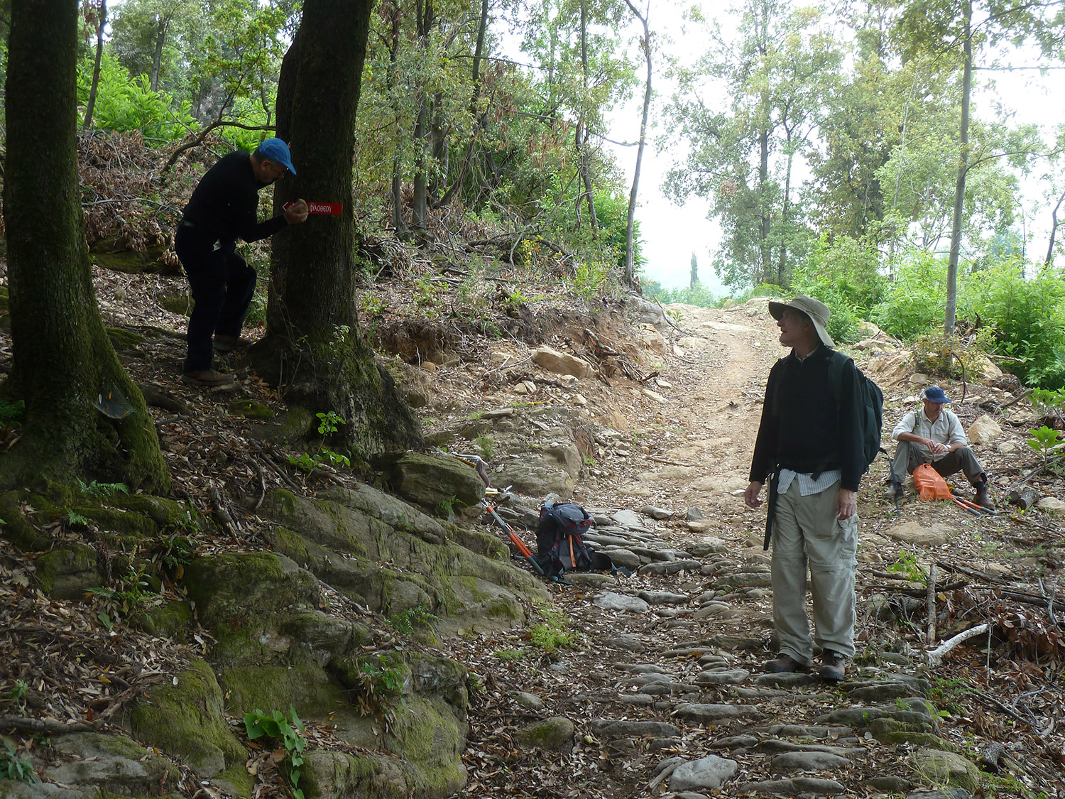
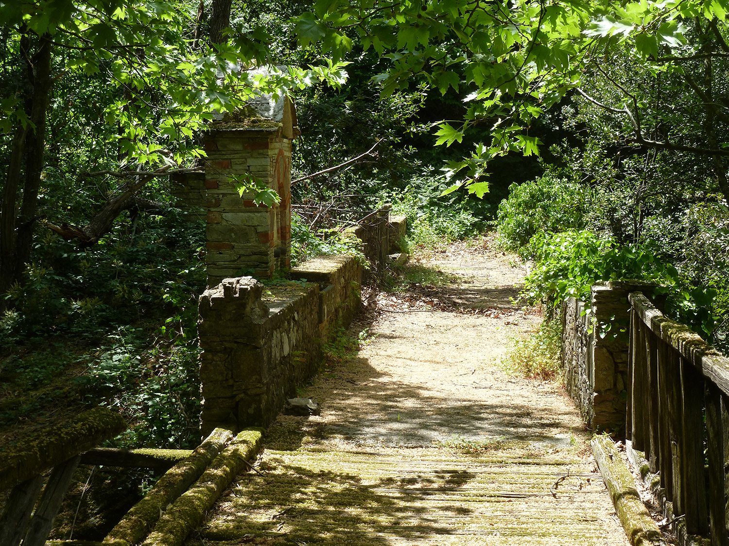
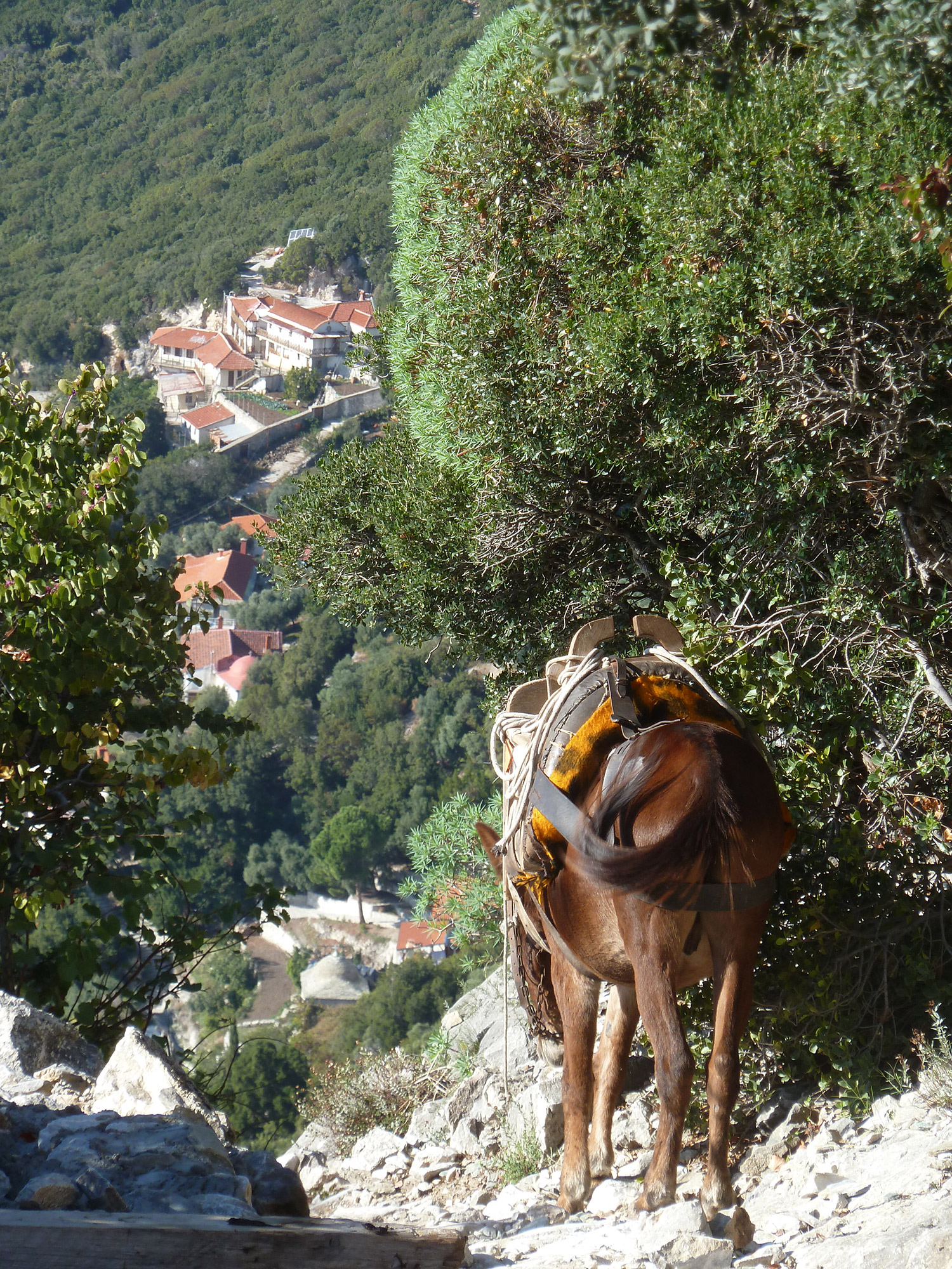
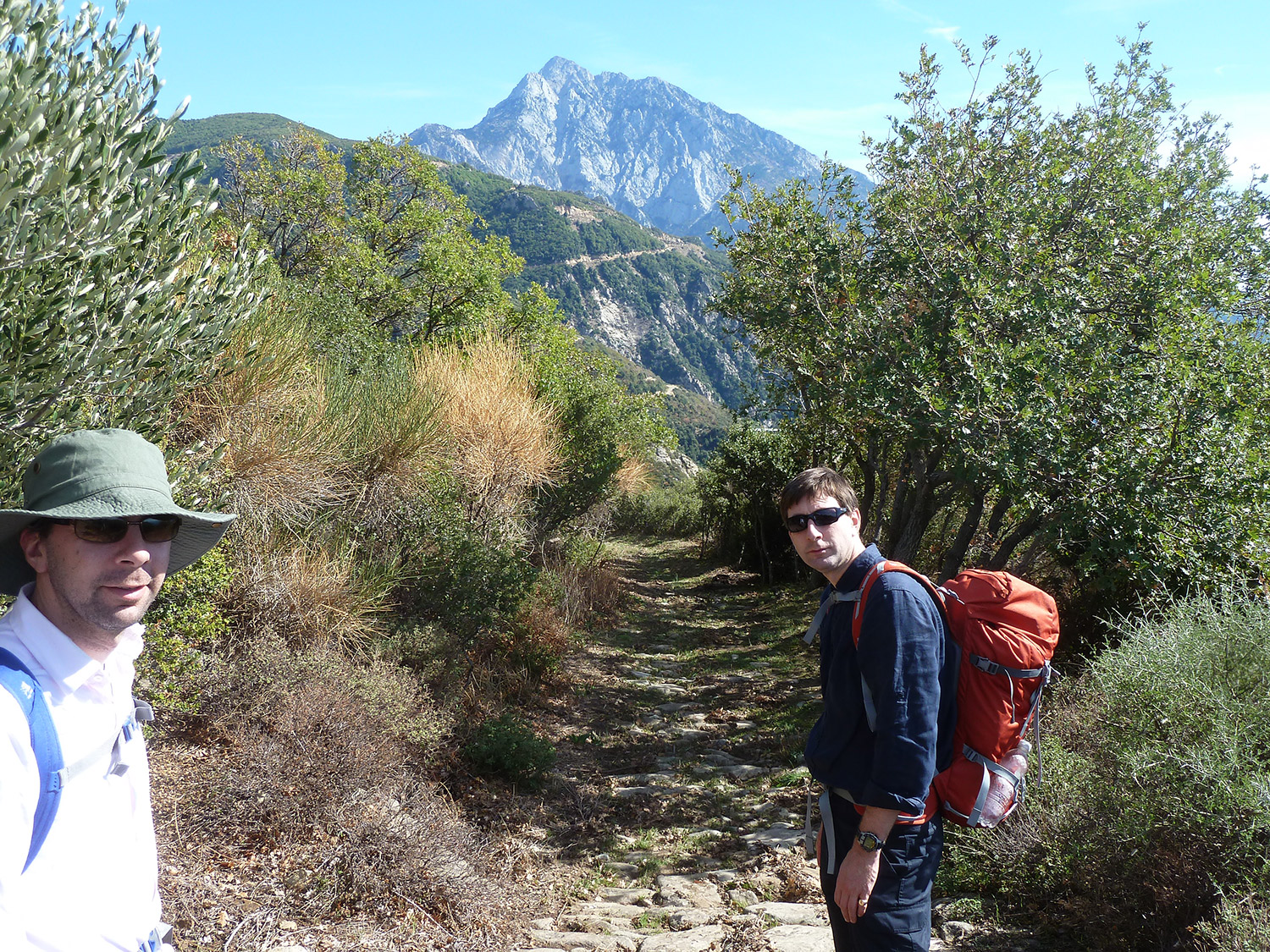
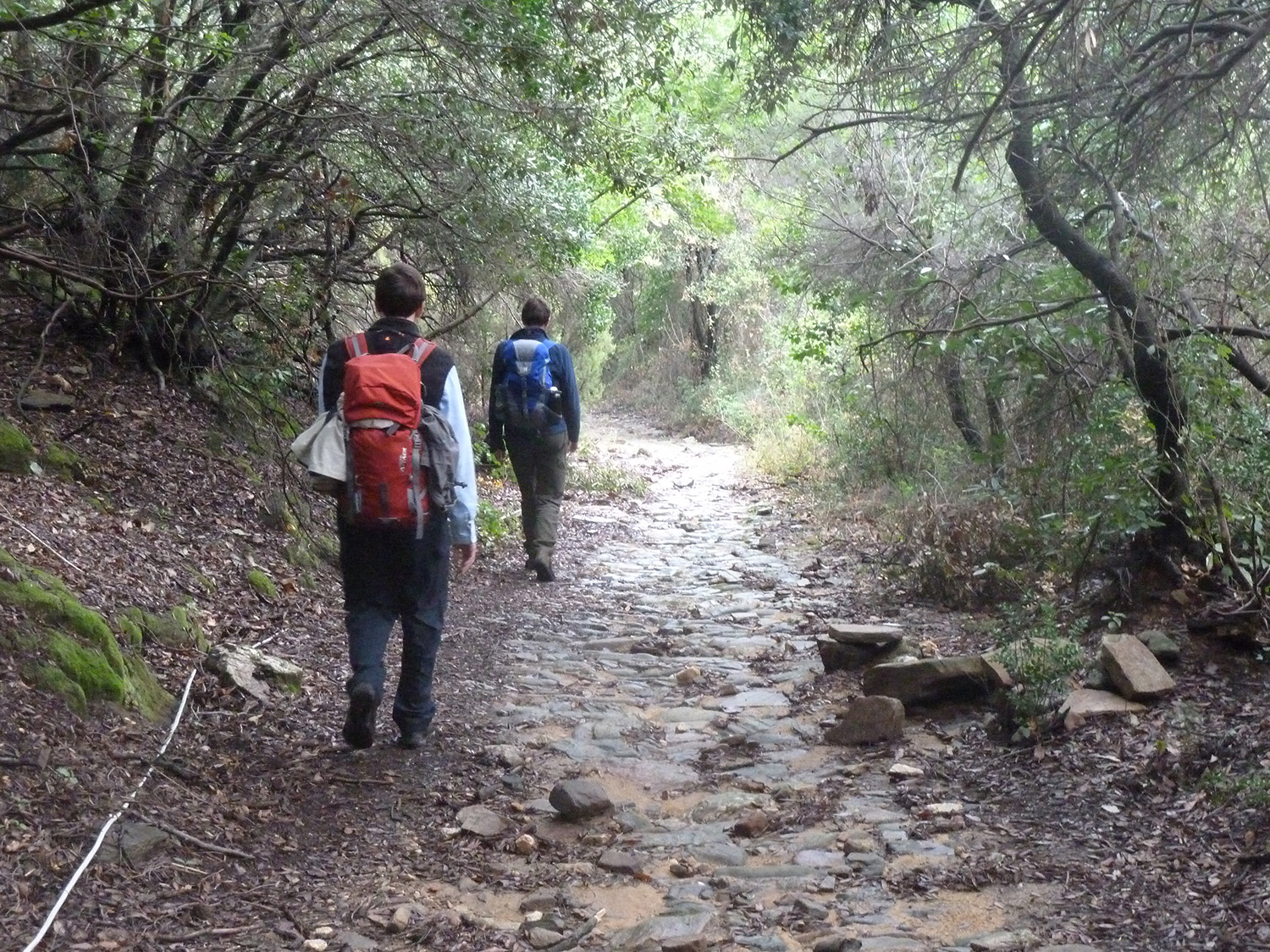
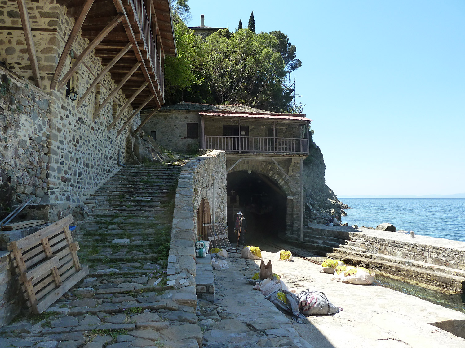
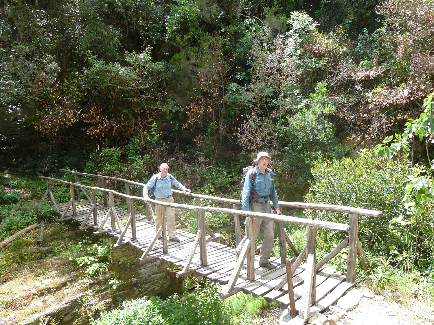
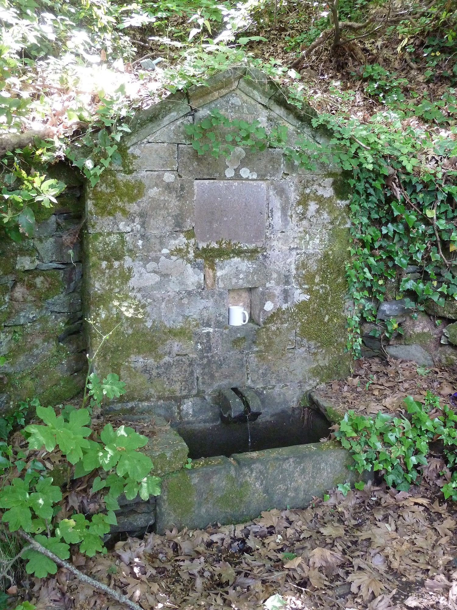
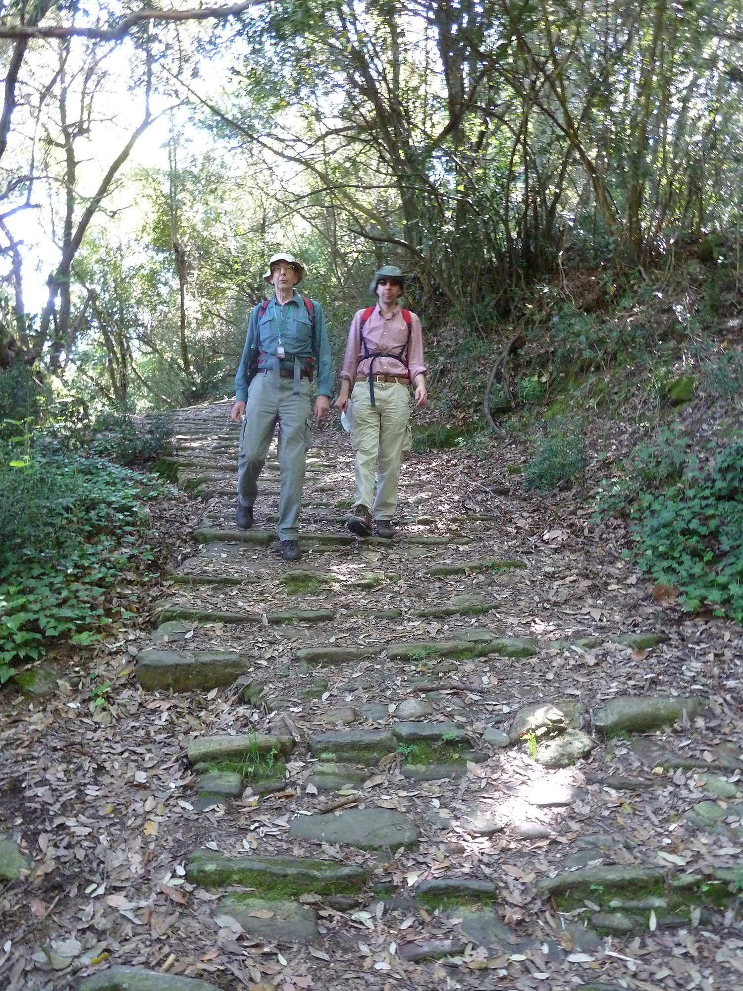
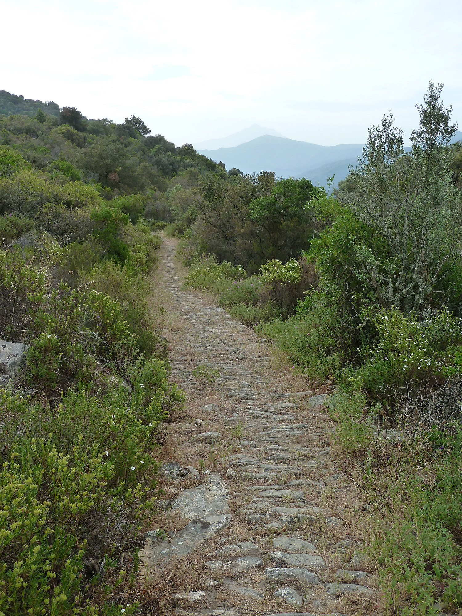
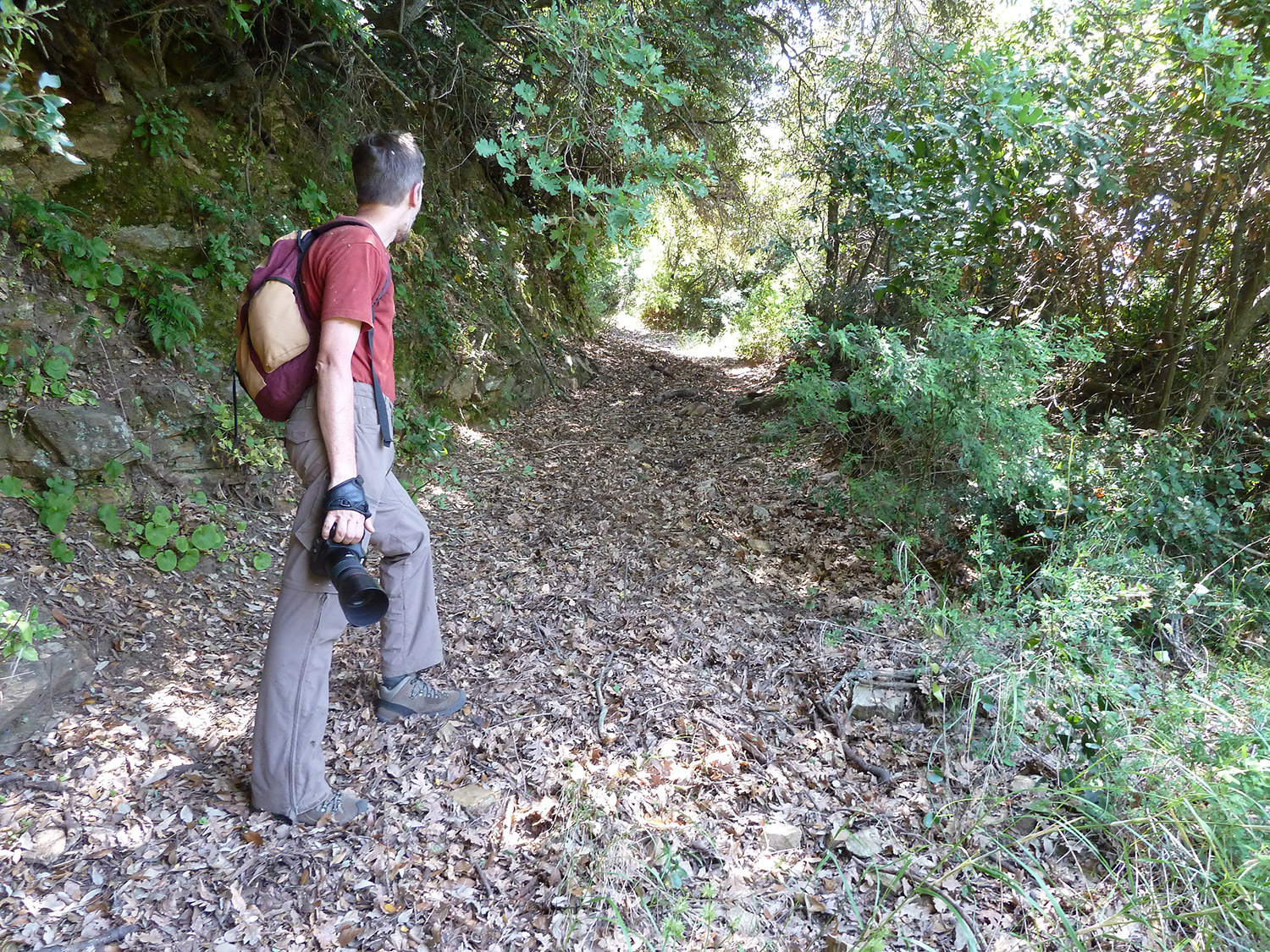
Apart from along the coast by boat, the traditional way of moving about the Holy Mountain has been by an extensive network of paths and mule tracks. Most of these are centuries old. The principal routes are, or were, stone paved, or kalderimi, originally built and maintained to a high standard, with impressive stone bridges, embankments and retaining walls, and were supported by well-spaced stone water fountains. Up until the early 1960s, when the first motor roads were built, these tracks and paths were the only ways to travel on the peninsula.
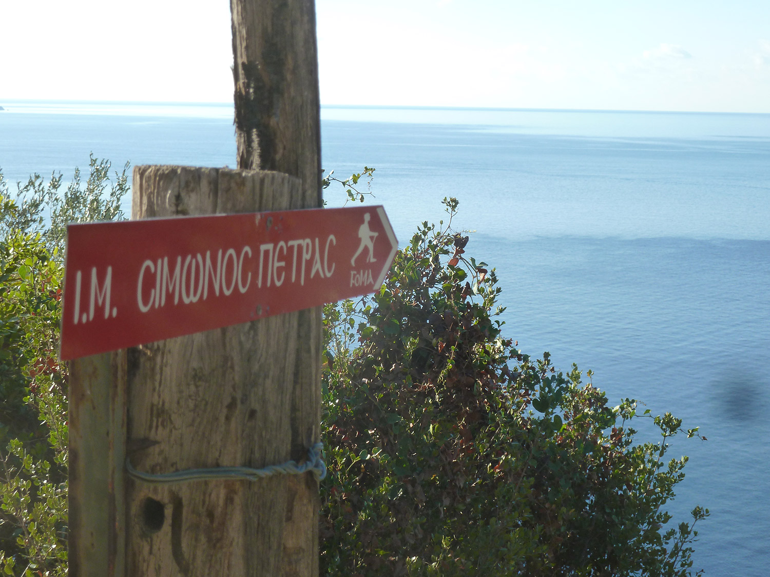
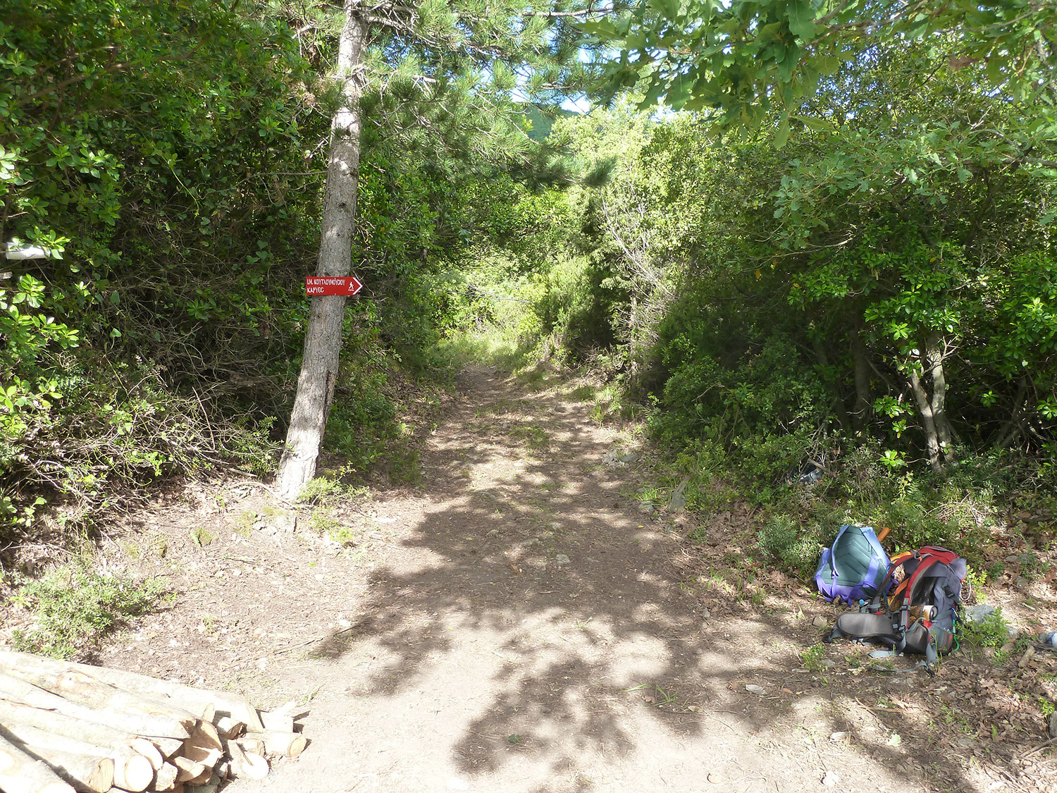
The tracks and paths connect monasteries, sketes and cells with each other and with important centres such as Karyes and Daphni. The Friends of Mount Athos strives to keep the most important of these routes open and well signed. They also maintain a comprehensive set of Footpath Descriptions, together with the associated GPS tracking, to enable pilgrims to make use of them. These are available in both English and Greek.
(For information about the footpath-clearing project see here .)
Pilgrims to Mount Athos are encouraged to make use of these Descriptions and tracking which may be accessed using one of the links below. The links lead to a comprehensive table which also gives path conditions, approximate walking times and how recently each route has been confirmed.
Please be aware that due to the harsh and rugged environment on Mount Athos, hiking is challenging and could be dangerous if one were not properly prepared and equipped. A practical guide to using the footpaths may be found here.
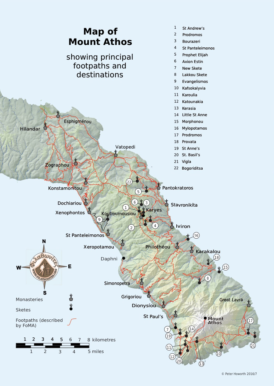
Maps of the Holy Mountain vary widely in reliability we recommend the pilgrim map available from the Filathonites website.
If you have current information on path conditions or the timings given for any footpath or route, The Friends of Mount Athos Footpaths Team would greatly appreciate hearing from you. Please email fomafootpaths@gmail.com.
